

Facilities and recreation
Mapped places to consider, with limits in mind.
Activity
11 official or mapped records available here
Place
11 official or mapped records available here
Visitor Center
1 official or mapped records available here
NM / Southwest
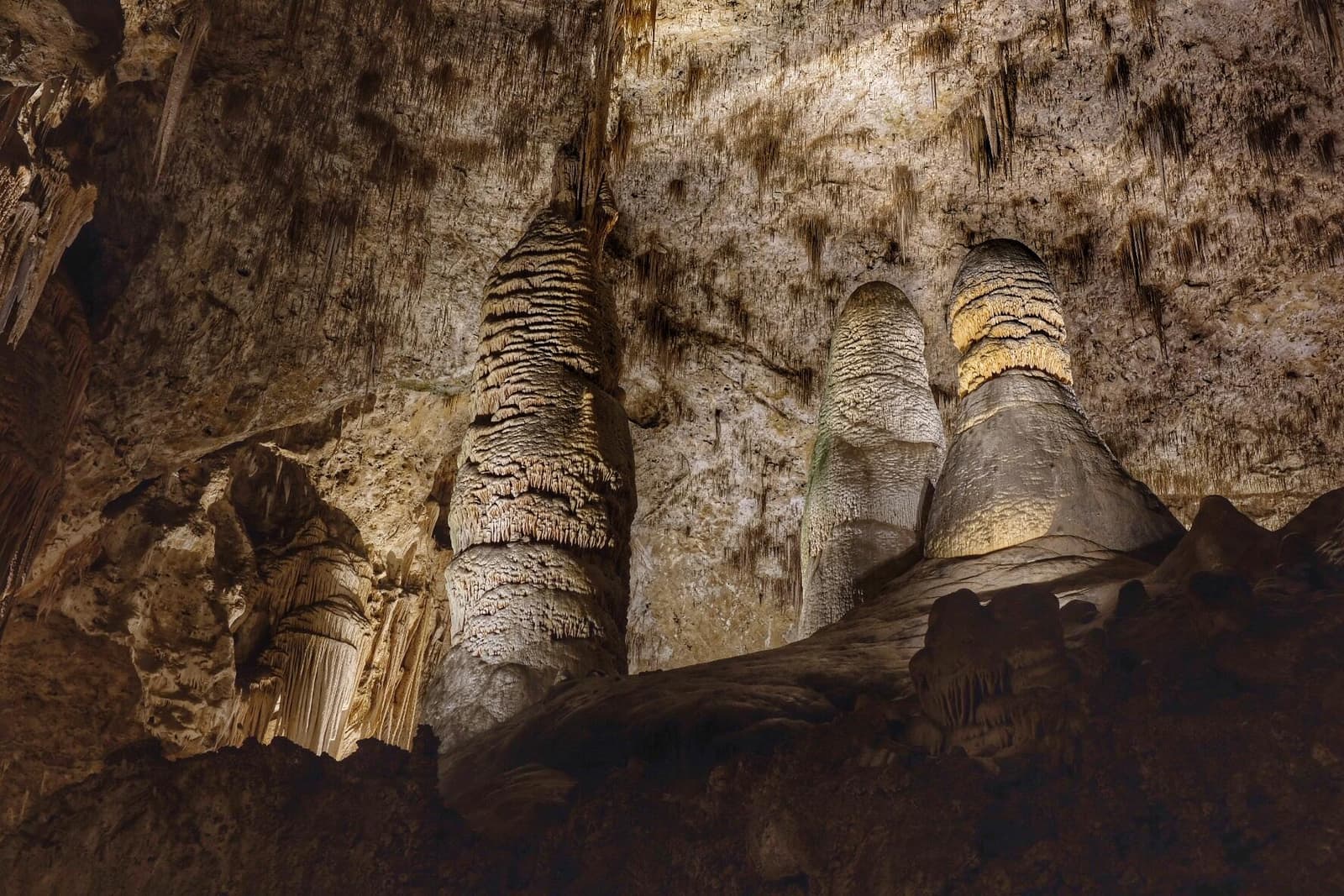
High ancient sea ledges, deep rocky canyons, flowering cactus, and desert wildlife—treasures above the ground in the Chihuahuan Desert. Hidden beneath the surface are more than 119 caves—formed when sulfuric acid dissolved limestone leaving behind caverns of all sizes. Operating-hours data available from NPS. Entrance-fee data available from NPS.
Use this park condition page to compare map context, current alerts, facilities, weather, and planning recommendations before shaping a one-day visit.
For a perfect Carlsbad Caverns day, start with the official alert status, then decide which mapped stops, short walks, scenic drives, and backup options still fit your group.
Forecast
Partly Cloudy
Coverage: stale
Air quality
AQI 44
Coverage: stale
Sunrise / sunset
7:04 AM MDT / 6:22 PM MDT
678 daylight minutes
Major alerts
7
Important alerts active
Planning help
Planning help
Choose a park and preferences to start.
Park map layers
Loading mapped features...
Facilities and recreation
Activity
11 official or mapped records available here
Place
11 official or mapped records available here
Visitor Center
1 official or mapped records available here
Sources and freshness
Official: NPS park profile, alerts, links, and cached feature records.
Community-mapped: OpenStreetMap features and amenities where available.
Application-derived: Scoring, daylight, freshness, data coverage, and condition labels.
AI explanation: Plain-language summaries over selected facts only.
Official links
Planning guides
Choose your first stops with the must-see stop guide, then use current alerts and mapped facilities here to decide what should stay flexible.
If heat, storms, wind, snow, or limited visibility could affect your route, pair this page with the changing weather guide before locking in the day.
For practical logistics, review arrival timing and the food and water checklist.
To compare this park with other U.S. national parks, return to the full park directory.