

Skip to content
One Perfect Park Day
<- All parks

IN / Great Lakes

Indiana Dunes

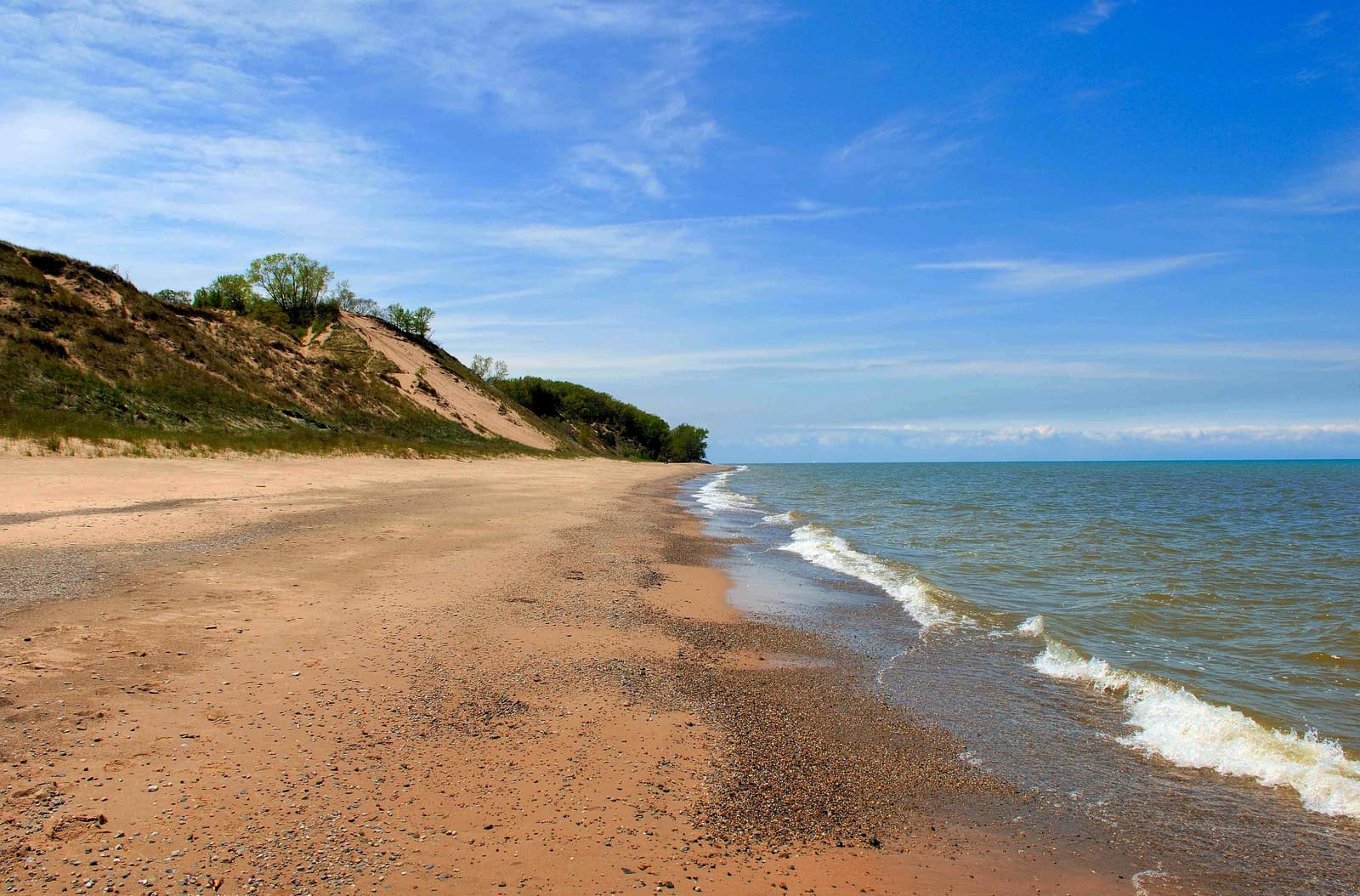
Lake Michigan's might has influenced Indiana Dunes for millennia. Wind and waves have shaped the land, leaving a rich mosaic of habitats along these 15 miles of Indiana coast. Over 50 miles of trails lead through shifting sand dunes, quiet woodlands, sunny prairies and lush wetlands. Known for its striking plant and bird diversity, it's easy to find inspiration throughout the park’s 16,000 acres. Operating-hours data available from NPS. Entrance-fee data available from NPS.

Use this park condition page to compare map context, current alerts, facilities, weather, and planning recommendations before shaping a one-day visit.

For a perfect Indiana Dunes day, start with the official alert status, then decide which mapped stops, short walks, scenic drives, and backup options still fit your group.

Important alerts activeOfficialCommunity mappedApplication derivedAI explanation
Indiana Dunes National Park

Forecast

Mostly Clear

Coverage: stale

Air quality

AQI 31

Coverage: stale

Sunrise / sunset

6:14 AM CDT / 7:21 PM CDT

787 daylight minutes

Major alerts

10

Important alerts active

Planning help

See what might fit this park today.

Planning help

Indiana Dunes

Application derived
Interests

Choose a park and preferences to start.

Park map layers

Indiana Dunes activity map

Community mapped

Loading mapped features...

Facilities and recreation

Mapped places to consider, with limits in mind.

Activity

7 official or mapped records available here

Campground

3 official or mapped records available here

Event

29 official or mapped records available here

Place

36 official or mapped records available here

Visitor Center

2 official or mapped records available here

Sources and freshness

Where these notes come from.

Official: NPS park profile, alerts, links, and cached feature records.

Community-mapped: OpenStreetMap features and amenities where available.

Application-derived: Scoring, daylight, freshness, data coverage, and condition labels.

AI explanation: Plain-language summaries over selected facts only.

Official links

Check the official details before you go.

Planning guides

Build the rest of the day around the park conditions.

Choose your first stops with the must-see stop guide, then use current alerts and mapped facilities here to decide what should stay flexible.

If heat, storms, wind, snow, or limited visibility could affect your route, pair this page with the changing weather guide before locking in the day.

For practical logistics, review arrival timing and the food and water checklist.

To compare this park with other U.S. national parks, return to the full park directory.