

Skip to content
<- All parks

WA / Pacific Northwest

Mount Rainier

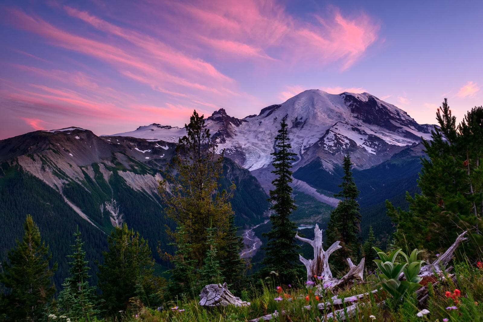
Ascending to 14,410 feet above sea level, Mount Rainier stands as an icon in the Washington landscape. An active volcano, Mount Rainier is the most glaciated peak in the contiguous U.S.A., spawning five major rivers. Subalpine wildflower meadows ring the icy volcano while ancient forest cloaks Mount Rainier’s lower slopes. Wildlife abounds in the park’s ecosystems. A lifetime of discovery awaits. Operating-hours data available from NPS. Entrance-fee data available from NPS.

Limited current dataOfficialCommunity mappedApplication derivedAI explanation

Forecast

Some current-condition inputs are missing or limited.

Coverage: unavailable

Air quality

Unavailable

Coverage: unavailable

Sunrise / sunset

5:30 AM PDT / 8:54 PM PDT

924 daylight minutes

Major alerts

0

Limited current data

Recommendation workspace

Plan against this park's current data.

Recommendation planner

Mount Rainier

Application derived
Interests

Choose a park and preferences to start.

Park map layers

Mount Rainier activity map

Community mapped

Loading mapped features...

Facilities and recreation

Mapped context without implying availability.

activity

23 official or mapped records in local data

campground

3 official or mapped records in local data

event

10 official or mapped records in local data

place

266 official or mapped records in local data

visitor-center

8 official or mapped records in local data

Sources and freshness

Know what each claim is based on.

Official: NPS park profile, alerts, links, and cached feature records.

Community-mapped: OpenStreetMap features and amenities where available.

Application-derived: Scoring, daylight, freshness, data coverage, and condition labels.

AI explanation: Grounded language over selected facts only.

Official links

Verify before entering the park.