

Skip to content
One Perfect Park Day
<- All parks

UT / Colorado Plateau

Bryce Canyon

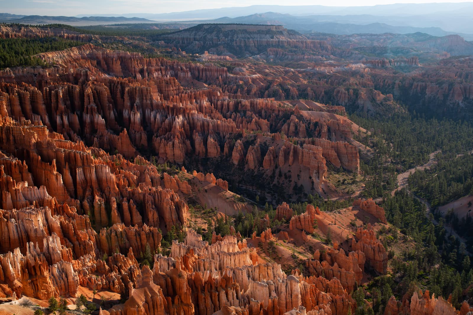
Hoodoos (irregular columns of rock) exist on every continent, but here is the largest concentration found anywhere on Earth. Situated along a high plateau at the top of the Grand Staircase, the park's high elevations include numerous life communities, fantastic dark skies, and geological wonders that defy description. Operating-hours data available from NPS. Entrance-fee data available from NPS.

Use this park condition page to compare map context, current alerts, facilities, weather, and planning recommendations before shaping a one-day visit.

For a perfect Bryce Canyon day, start with the official alert status, then decide which mapped stops, short walks, scenic drives, and backup options still fit your group.

Important alerts activeOfficialCommunity mappedApplication derivedAI explanation
Bryce Canyon National Park

Forecast

Mostly Clear

Coverage: stale

Air quality

AQI 28

Coverage: stale

Sunrise / sunset

6:59 AM MDT / 7:57 PM MDT

778 daylight minutes

Major alerts

5

Important alerts active

Condition focus

Bryce Canyon conditions planning note

For Bryce Canyon conditions, check rim weather, sunrise temperatures, snow or ice, lightning risk, shuttle or parking details, and whether elevation affects the walking plan.

Planning help

See what might fit this park today.

Planning help

Bryce Canyon

Application derived
Interests

Choose a park and preferences to start.

Park map layers

Bryce Canyon activity map

Community mapped

Loading mapped features...

Facilities and recreation

Mapped places to consider, with limits in mind.

Activity

29 official or mapped records available here

Campground

2 official or mapped records available here

Event

5 official or mapped records available here

Place

135 official or mapped records available here

Visitor Center

1 official or mapped records available here

Sources and freshness

Where these notes come from.

Official: NPS park profile, alerts, links, and cached feature records.

Community-mapped: OpenStreetMap features and amenities where available.

Application-derived: Scoring, daylight, freshness, data coverage, and condition labels.

AI explanation: Plain-language summaries over selected facts only.

Official links

Check the official details before you go.

Planning guides

Build the rest of the day around the park conditions.

Choose your first stops with the must-see stop guide, then use current alerts and mapped facilities here to decide what should stay flexible.

If heat, storms, wind, snow, or limited visibility could affect your route, pair this page with the changing weather guide before locking in the day.

For practical logistics, review arrival timing and the food and water checklist.

To compare this park with other U.S. national parks, return to the full park directory.