

Skip to content
One Perfect Park Day
<- All parks

CO / Rockies

Great Sand Dunes

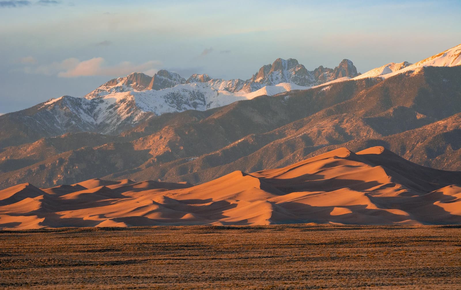
The tallest dunes in North America are the centerpiece in a diverse landscape of grasslands, wetlands, forests, alpine lakes, and tundra. Stay on a moonless night to experience countless stars in this International Dark Sky Park! Open 24 hours a day, 7 days a week year-round. There are no timed entries or reservations to visit. Operating-hours data available from NPS. Entrance-fee data available from NPS.

Use this park condition page to compare map context, current alerts, facilities, weather, and planning recommendations before shaping a one-day visit.

For a perfect Great Sand Dunes day, start with the official alert status, then decide which mapped stops, short walks, scenic drives, and backup options still fit your group.

Important alerts activeOfficialCommunity mappedApplication derivedAI explanation
Great Sand Dunes National Park

Forecast

Partly Cloudy

Coverage: stale

Air quality

AQI 15

Coverage: stale

Sunrise / sunset

6:32 AM MDT / 7:31 PM MDT

779 daylight minutes

Major alerts

7

Important alerts active

Condition focus

Great Sand Dunes condition planning note

For Great Sand Dunes, current conditions can shift the day around heat, wind, storm exposure, Medano Creek seasonality, sand temperature, and how much walking your group can comfortably handle.

Planning help

See what might fit this park today.

Planning help

Great Sand Dunes

Application derived
Interests

Choose a park and preferences to start.

Park map layers

Great Sand Dunes activity map

Community mapped

Loading mapped features...

Facilities and recreation

Mapped places to consider, with limits in mind.

Activity

8 official or mapped records available here

Campground

3 official or mapped records available here

Event

5 official or mapped records available here

Place

8 official or mapped records available here

Visitor Center

2 official or mapped records available here

Sources and freshness

Where these notes come from.

Official: NPS park profile, alerts, links, and cached feature records.

Community-mapped: OpenStreetMap features and amenities where available.

Application-derived: Scoring, daylight, freshness, data coverage, and condition labels.

AI explanation: Plain-language summaries over selected facts only.

Official links

Check the official details before you go.

Planning guides

Build the rest of the day around the park conditions.

Choose your first stops with the must-see stop guide, then use current alerts and mapped facilities here to decide what should stay flexible.

If heat, storms, wind, snow, or limited visibility could affect your route, pair this page with the changing weather guide before locking in the day.

For practical logistics, review arrival timing and the food and water checklist.

To compare this park with other U.S. national parks, return to the full park directory.